|
| Home | Foto | Moto | MTB | Contattami | Guestbook |
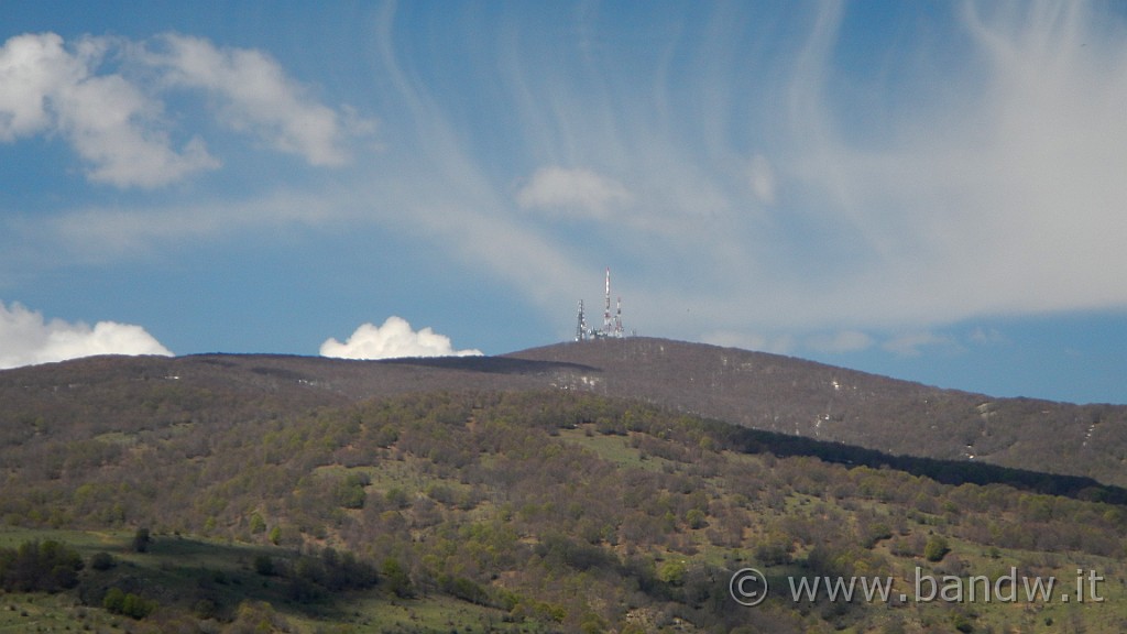
| Monte Soro con le sue Antenne |
|
 |
|


| « | < | 41 | 42 | 43 | 44 | 45 | 46 | 47 | 48 | 49 | 50 | 51 | 52 | 53 | 54 | 55 | 56 | 57 | 58 | 59 | 60 | > | » |
| Soggetto: Nebrodi - Bosco Semantile | Parole chiave: Nebrodi;bosco;semantile;www.bandw.it;case;canalotto;botti;torrente;barillà;martello;portella;scafi;mtb;percorso;traccia;area;attrezzata;Margio;locina;contrada;Pizzo minà;Tre Finaite;Gurgo cannella | Fotografo: PAPPALARDO Rosario | Latitude: N 37°55'34,34" | Longitude: E 14°45'24,46" | Altitude: 1371 metres | See map |
| Immagini totali: 65 | Editing by www.bandw.it © | Leggi/scrivi il mio Guestbook | Aiuto |

Questo sito è stato ottimizzato per una risoluzione di 1152 X 864
editing by BANDW 2006